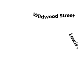
1 9 LEWIS RD
Owner Information
ALBIANI MANGEMENT CO.TRUST
P O BOX 69
WINCHESTER, MA 01890


Property Details
1 9 LEWIS RD is classified as a Apartments with More than Eight Units (Aprtmnt-gn).
The primary structure on this property was built in 1912. There are 56,034ft2 of built area within this property. There is 56,034ft2 of residential/living space within this property. This property is listed as having 150 rooms. There are 36 units within this property.
1 9 LEWIS RD is valued at $8,687,500. The land is valued at $2,520,000 and the structures are valued at $6,167,500.
This property is in Zone RDB. Confirm with local Zoning Board authorities to ensure there are no overlays or other easements on this property.
1 9 LEWIS RD was last sold on Wednesday, February 11, 1998 for $0.
Assessment data from fiscal year 2021.
Flood Data
According to the FEMA National Flood Hazard Layer, this property does not appear to be in a flood zone. It may also be in an area not yet reviewed. Nonetheless, confirm this information prior to taking any action.
To view the flood hazards around this property, create a FEMA "Firmette" Map of the area around 1 9 LEWIS RD.
Broadband Internet Providers
| Provider | Type | Bandwidth (mbps) | |
|---|---|---|---|
| VSAT Systems, LLC. | Satellite | 2 | 1 |
| HughesNet | Satellite | 25 | 3 |
| GCI Communication Corp. | Satellite | 0 | 0 |
| Comcast | Cable | 1000 | 35 |
| Verizon New England Inc. | Fiber | 940 | 880 |
| Crown Castle Fiber | Fiber | 0 | 0 |
| Viasat Inc | Satellite | 100 | 3 |
| Verizon New England Inc. | DSL | 7 | 0 |
Broadband service provider data from December 2020.
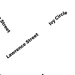
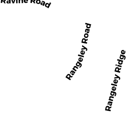
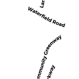
Adjacent Properties
- 12 WILDWOOD ST
Single Family Residential owned by EPPLE STEFFEN A + INDRA M - 10 WILDWOOD ST
Single Family Residential owned by BAKER STEPHEN D + ELENA J V - 7 WYMAN CT
Single Family Residential owned by HUBBARD JUSTIN + MAI N - 1 3 WYMAN CT
Two-Family Residential owned by KRELFR FAMILY TRUST - 77 77A CHURCH ST
Two-Family Residential owned by PABCAM HOLDINGS LLC - 14 WILDWOOD ST
Single Family Residential owned by MCINTOSH SUSAN L